Project Details
Client: Burns & McDonnell Engineering Co. Inc.
Contact: Mike Herleth
Services: Structural Engineering, Surveying
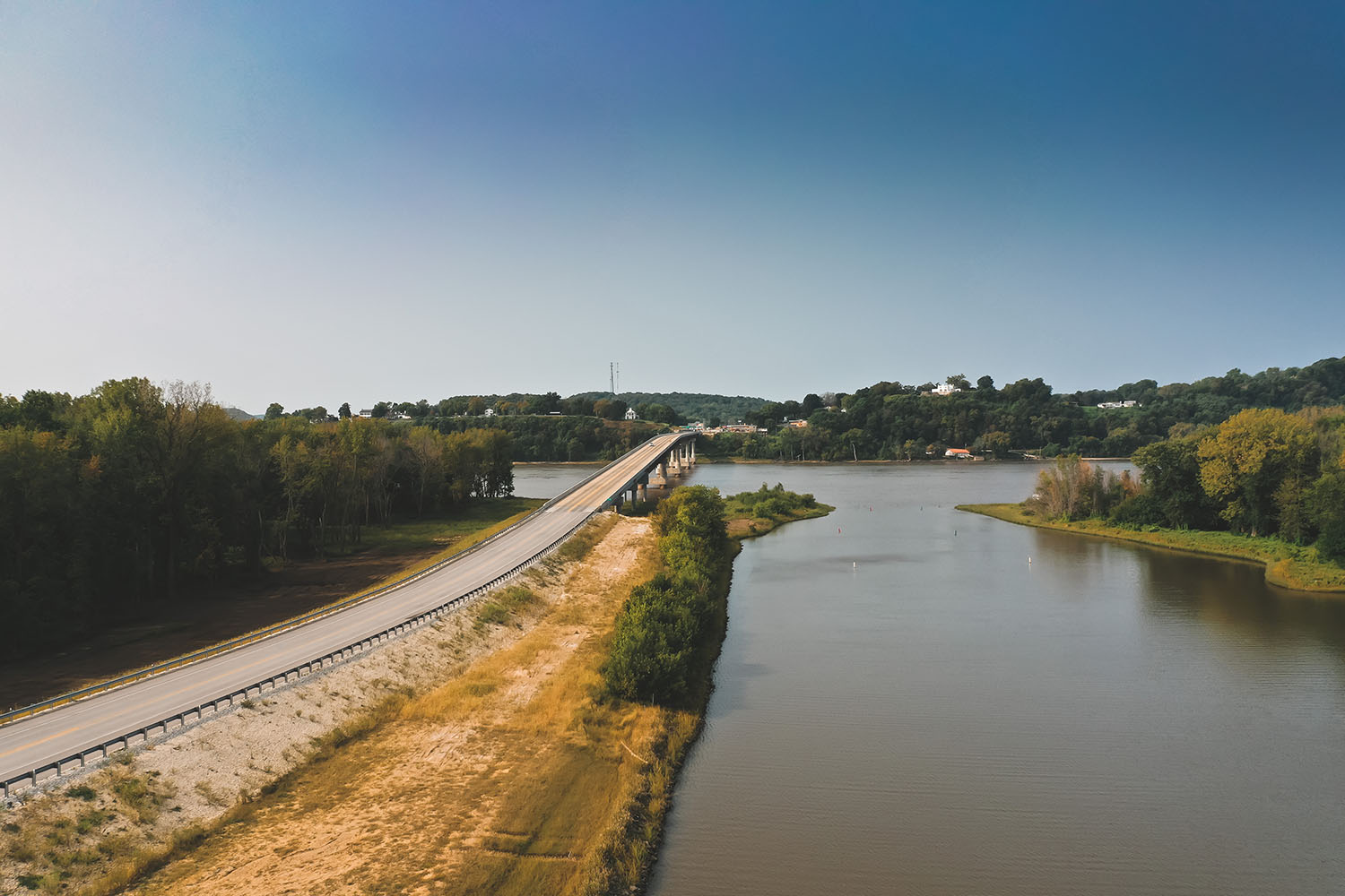
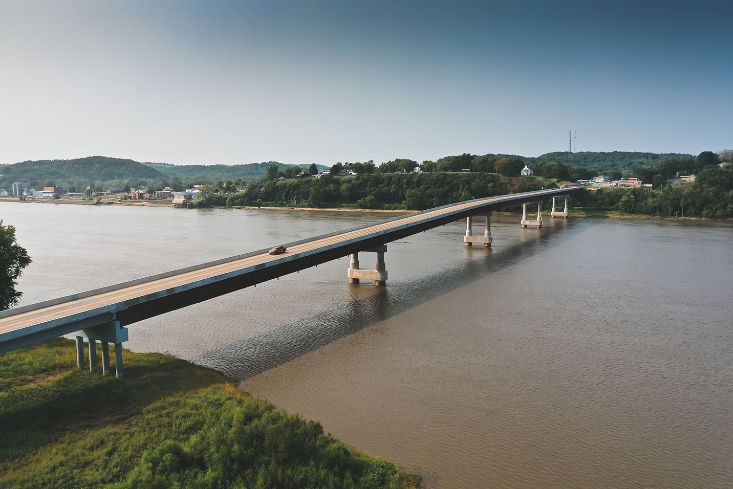
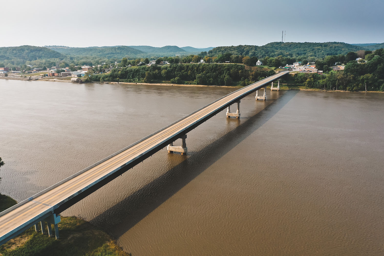
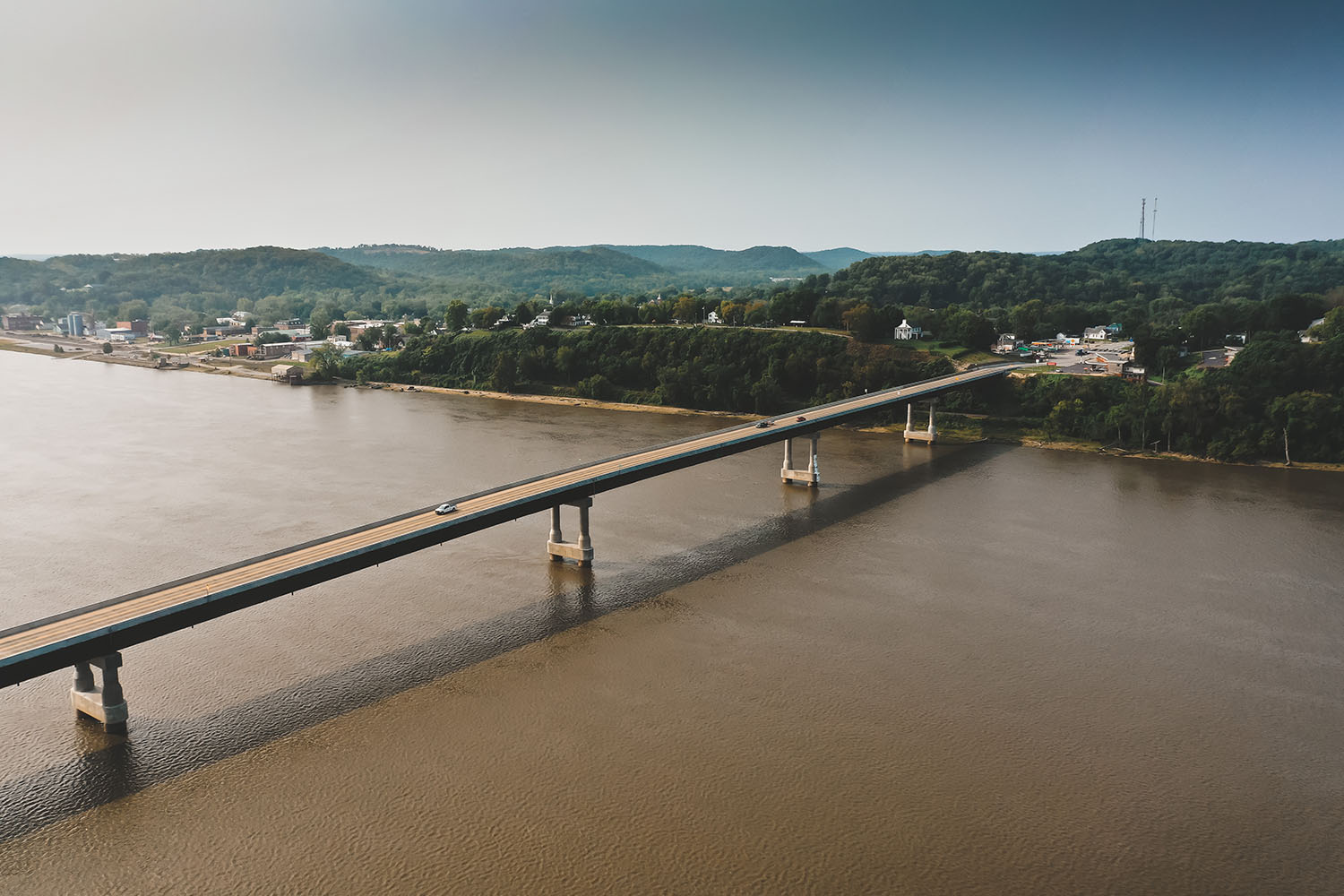
PSBA managed the collection of survey data from air, land, and water to provide the information needed for the design of a new Mississippi River Crossing in Louisiana, Missouri. PSBA coordinated both topographical and boundary survey work including aerial photography, LIDAR, and Bathymetric Surveys. PSBA established the horizontal control using static GPS methods. The data was post processed and the state plane coordinates were converted to a modified state plane or ground system. The vertical control was established utilizing the Illinois Height Mod Data. A closed bench circuit was run from Atlas, IL across the bridge which tied into a USGS bench in Louisiana, MO. The vertical for all primary control was elevated using closed loop bench circuits. The topographic data deprived from the aerial photography and Lidar was edited. All pavement within the project limits was located using a robot total station independent tin were created in these areas and merged into the tin generated from the Lidar data to insure accurate data for the design team. PSBA performed courthouse research and utilized provided title commitments to establish GLO Lines and property lines for individual parcels. Utility locates were made and marked lines were field located and added into the base design file. PSBA worked closely with the subcontractor providing the geotechnics to field locate the borings. Upon completion of an approved right-of-way plan, PSBA provided the acquisition description and final location survey plan in Missouri and individual ROW plats and description in Illinois.
